The best hike in Sapa is a bit of a secret.
As we like it, of course. Less of those loser tourists to deal with.
The Sapa area is home to the tallest mountains in all of Vietnam. The tallest and most popular of these is Fansipan, standing at 3,143 meters. But many trail not too far behind.
A visit to Sapa generally entails a trek through the beautiful rice fields the region has to offer. But conquering one of these mountains should be at least as high on your list, in my opinion.
If you’re to do one hike, make it the hike up Ngu Chi Son, which I’d say is the best hike in Sapa. Allow me to explain why.
Why you should hike Ngu Chi Son over Fansipan
The feeling of being at the highest point in a country is a very powerful one. I’ve done the UK, Thailand, and most recently South Korea.
But not Vietnam.
While it would be great to make it to the highest point in the entirety of Indochina (Fansipan holds that trophy), it isn’t worth it because Fansipan has become overly commercialized and touristified over the years.
As recently as 2016, Fansipan was just like all the other mountains in the region. In fact, it may have even fought for the best hike in Sapa title.
Then someone decided that it would be great to install a cable car to the top and allow all the lazies to get up without any work.
Seriously, imagine trekking for over 6 hours and having to wait in line to take photos behind a group of people with “I conquered Fansipan” t-shirts who in fact conquered nothing but the cable car.
Preposterous.
And if you’re thinking that the cable car is good- since that way you can hike up and take the car down- that’s true. But be aware that a one way and round trip ticket go for the same rate- about 800k dong ($33 USD).
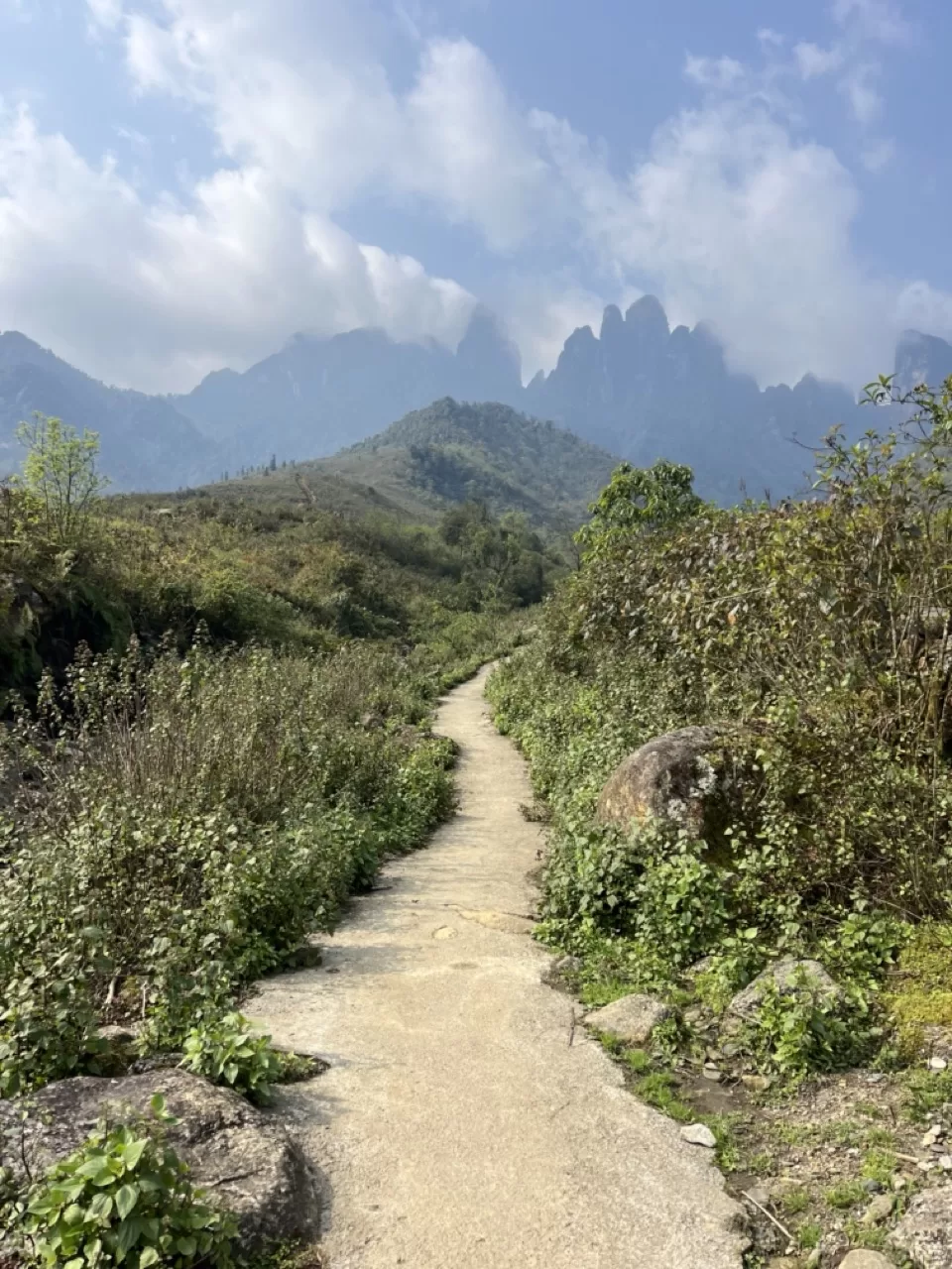
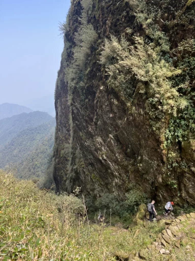
Ngu Chi Son, on the other hand, is the complete opposite of what you’ll find today at Fansipan.
In the 5-6 hours it took to get to the top, my group only met two others. That’s it. You’ll have the mountain to yourself and the summit to yourself.
And as of March 2025, there was no cable car construction in sight.
How to get to Ngu Chi Son
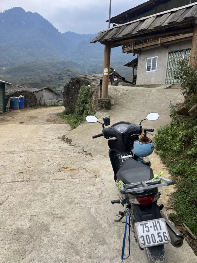
Part of what makes Ngu Chi Son so secret- and the best hike in Sapa- is its distance from Sapa Town.
The trailhead is located about an hour’s drive west from Sapa Town, so you need to head out pretty early, especially if you want to be able to take your time on the mountain.
But here’s the catch- you need to drive there by motorbike. So if you don’t drive one, find a friend who does. And preferably (more like non-negotiably) with some experience.
Otherwise, the cost of a one hour taxi two ways would likely be too high. And I never checked, but I doubt there’s much in the way of public transportation.
Just be careful- the road is torn up pretty good in a lot of places, so it’s not the smoothest ride.
Plug in the homestay on the map above into your navigation. When you arrive, just park on the side.
Hiking Ngu Chi Son
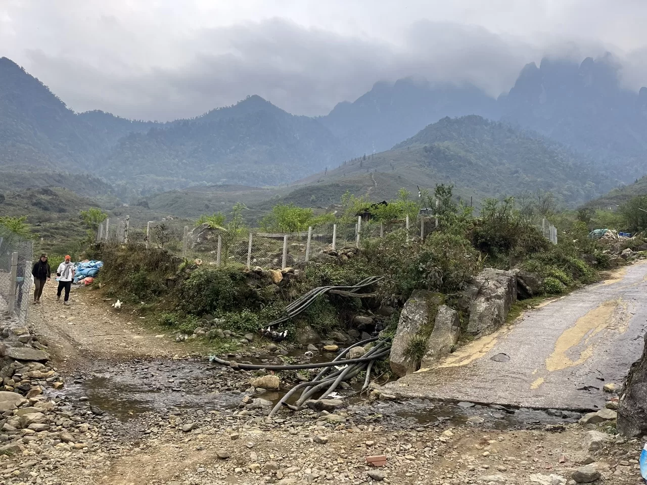
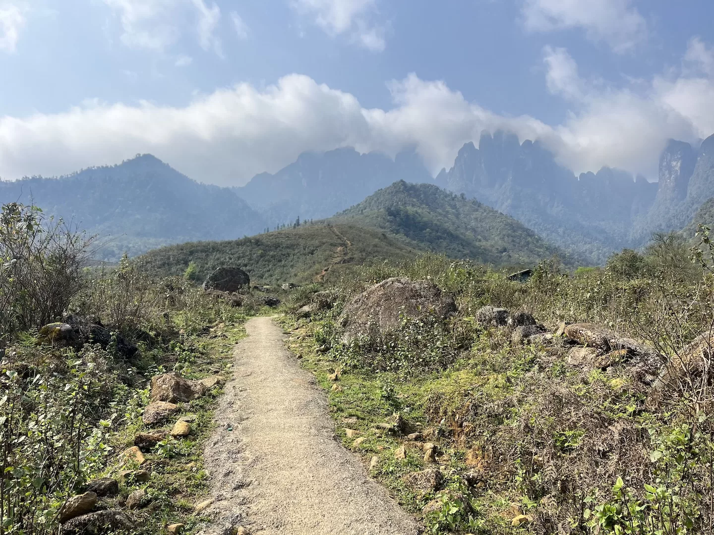
After parking, walk up the road and you’ll quickly reach the divergence you can see in the photo. Make sure to go left instead of right.
The first section of the hike isn’t too steep, but has some really incredible views of the mountains in front of you. It lasts for about an hour before things start to get more intense.
Beware of a few more trail divergences, though. Ngu Chi Son isn’t very popular, and it’s clear by the lack of markers.
There’s one about twenty minutes in. Again, stick to the left. If you don’t, give it a few minutes and you’ll stumble across someone’s house and likely be yelled at.
About half an hour after that you’ll reach a small clearing. In front of you there looks like there may be a path forward towards the mountains. Don’t go that way.
You’ll be turning right, up a steep section that takes you on a ridge which then heads towards the mountains.
It’s all a bit confusing. One of the Brits I was with had a drone, and we had to send it up to check which way to go.
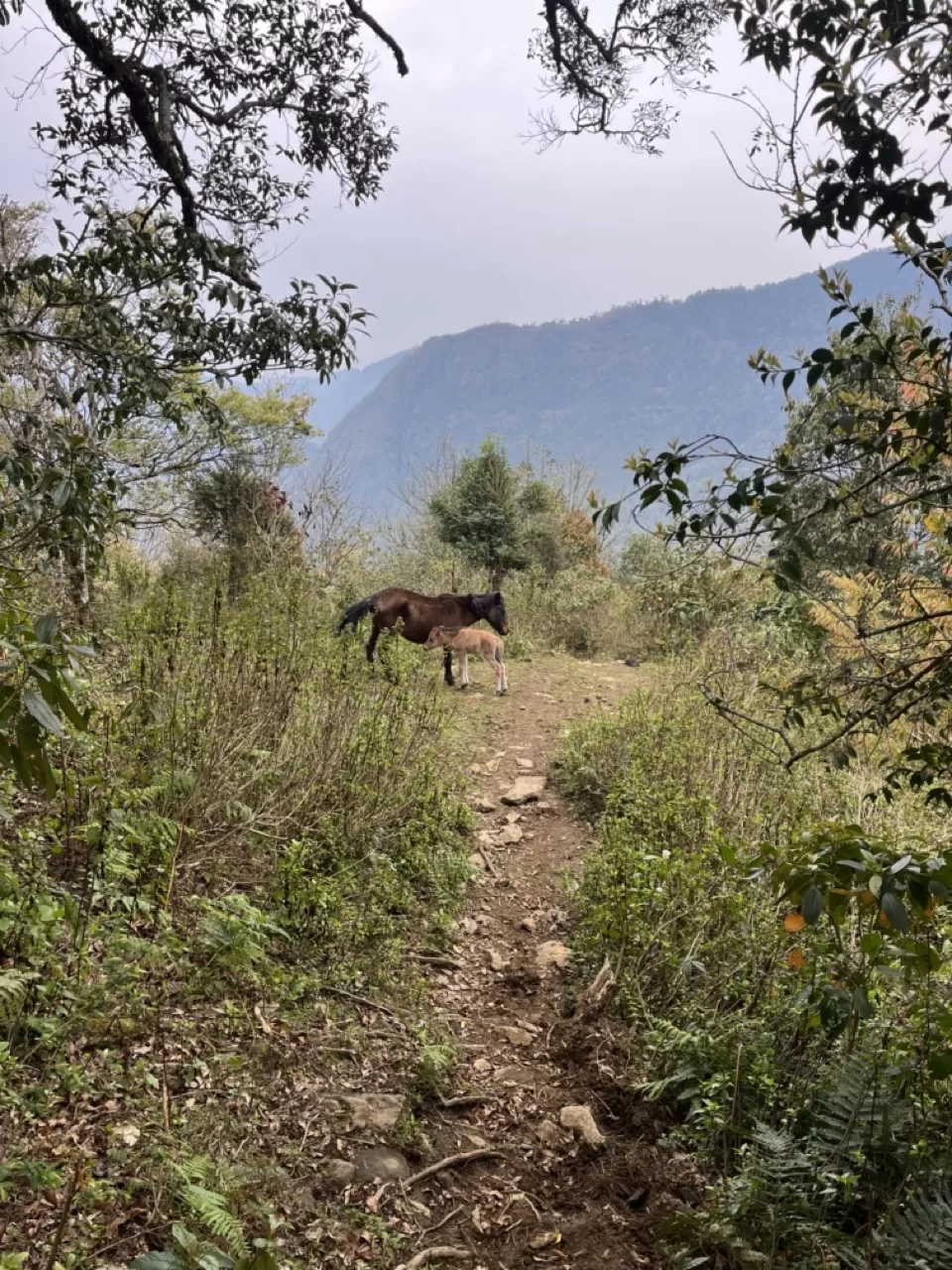
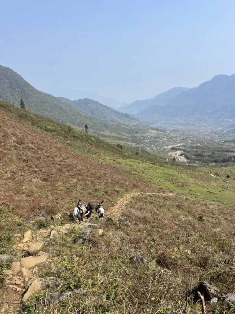
Things really pick up here. The fun and games are over and it’s time to work a bit. This is no Fansipan.
It takes between 1 to 2 hours to make it across the ridge to the base of the peaks. For most of it you’ll be encased in forest, but there are a few clearings where you’ll be treated to some pretty incredible views.
Once you make it, you’ll again reach a divergence in the trail. There’s a continuation of the trail, and a path up to the right which looks pretty official. Continue straight.
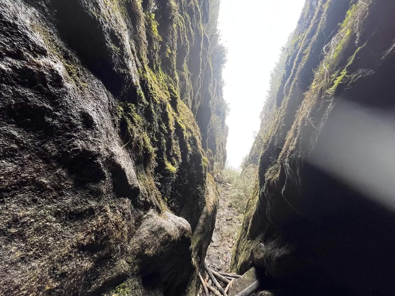
You’ll soon arrive at the base of a path that takes you steeply up through the middle of two mountain faces. It’s a pretty remarkable part of the hike, and should take between 30 and 45 minutes.
Eventually, you crest the mountain and are rewarded with sweeping views over the other side of the peaks.
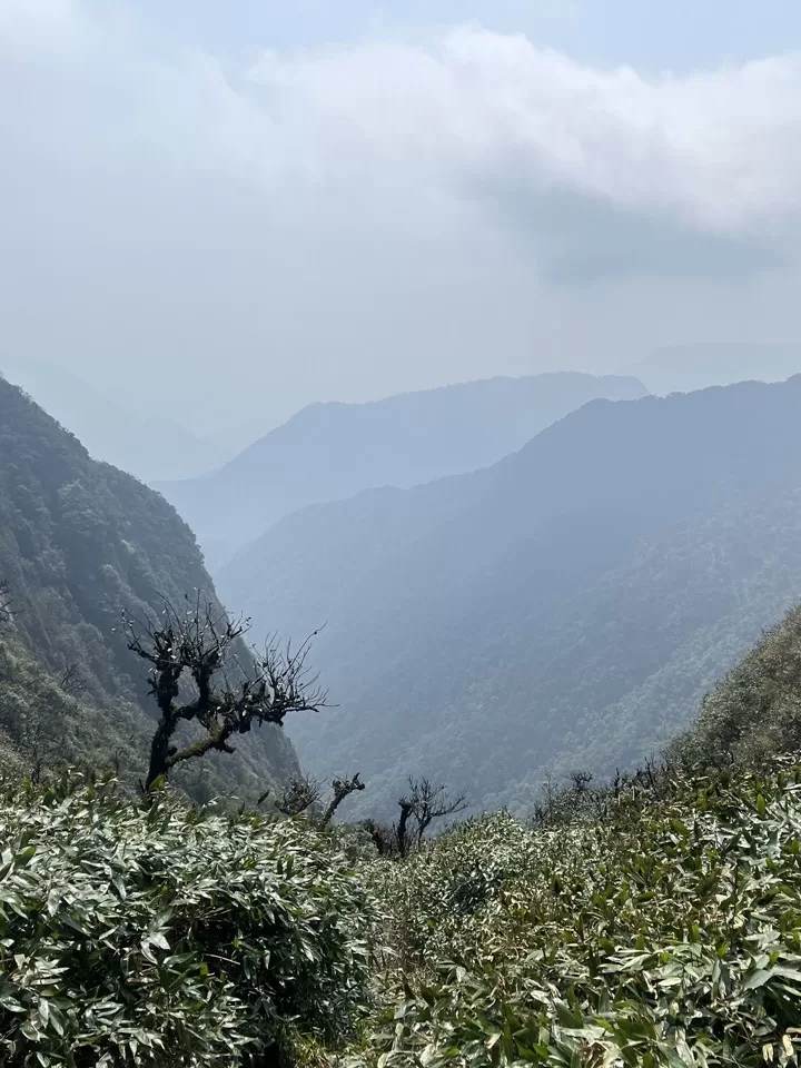
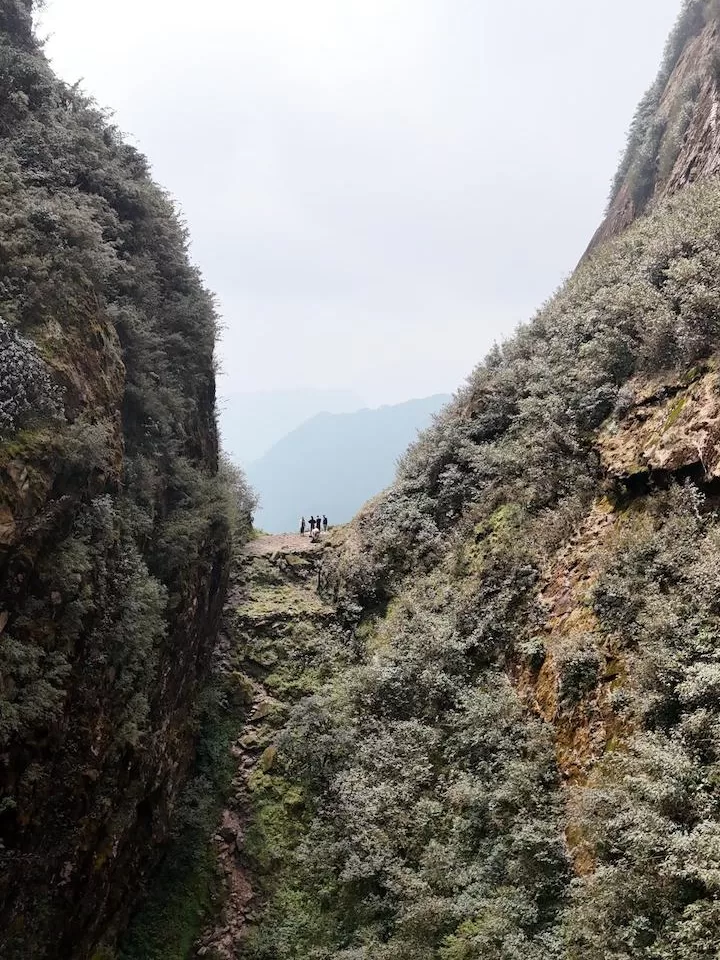
If you have a good pace, it’s only one more hour to the top.
But it should be said that the trail becomes considerably more challenging. You ascend a lot in a short amount of time, meaning steep paths and a lot of ropes and ladders.
Caution is necessary, especially with a tired body after hours of hiking. Definitely also a good idea to have company just in case things go a little wrong. Broken legs, split open head on a rock and such.
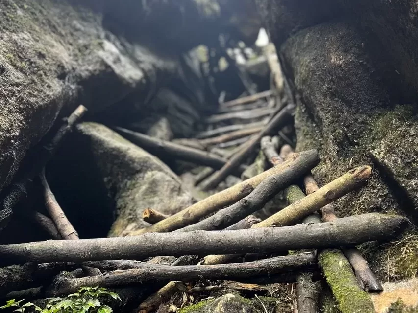
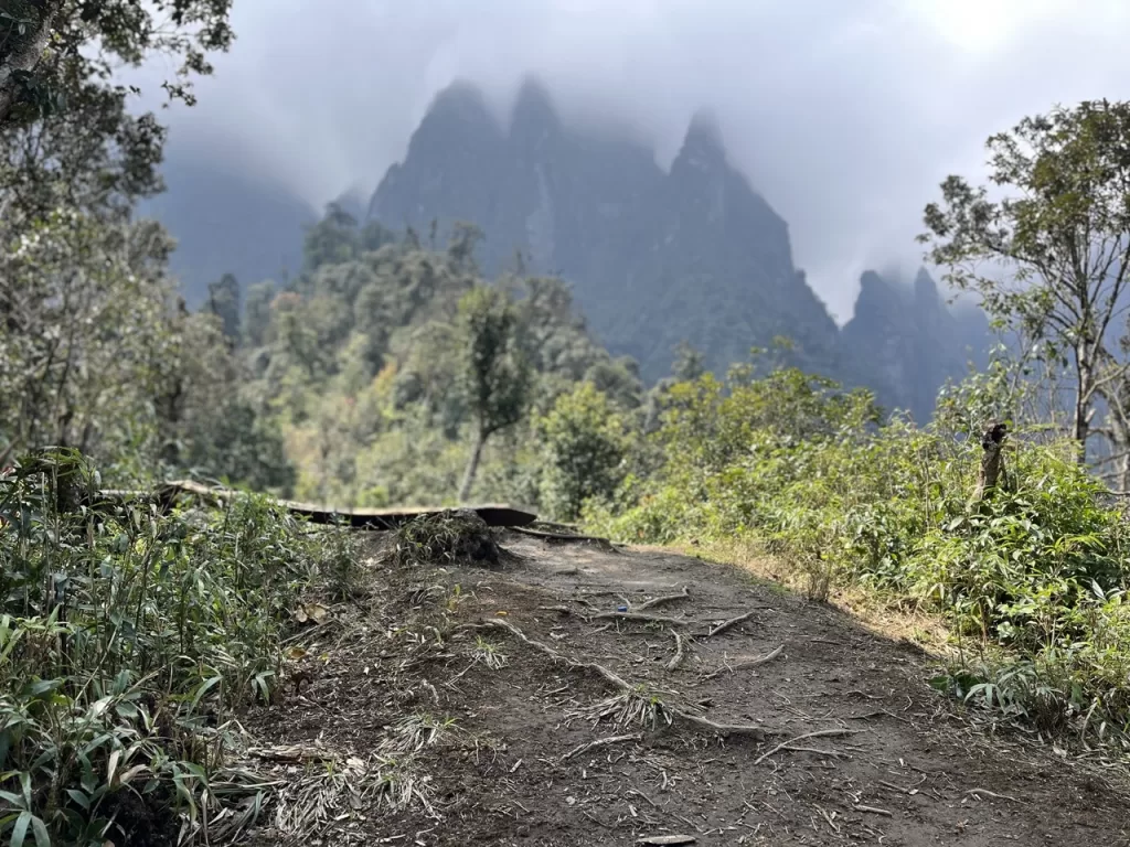
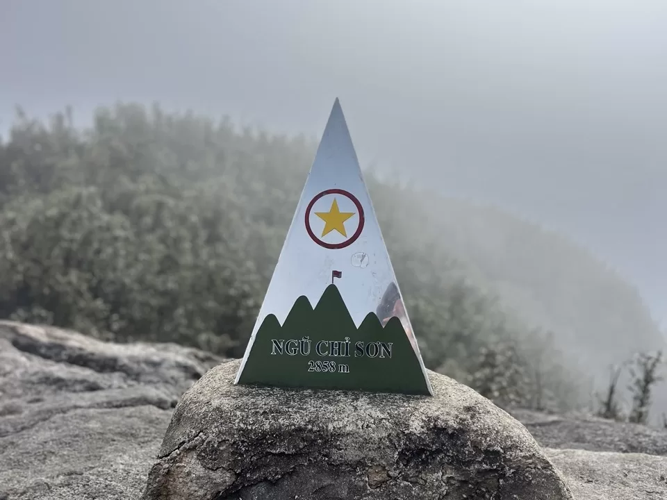
Eventually (hopefully), you’ll reach the top. Depending on the weather, you’ll either have clear skies and sweeping views, be over the clouds, or be in the clouds.
I was in the clouds. Not ideal, but pretty cool in its own way.
2-day Hike with a Guide
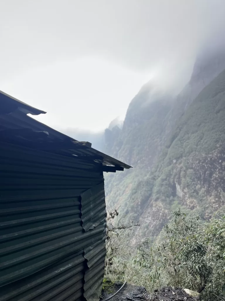
While hiking the last part of Ngu Chi Son, I noticed several green structures on the cliffside that you can see in the photo.
Luckily, I passed a group on my way down that explained what they were.
There are guides that offer a two-day trek up Ngu Chi Son, and the green structures are your shelter for the night.
The problem is that the tour costs $172/person. However, this includes a sleeper bus to and from Hanoi.
I don’t know enough to say for certain, but if you’re in Sapa and interested, try and contact them here and ask what the price would be without the sleeper bus.
If you find out, leave a comment so I can update this.
It’s pricey, but a night on Ngu Chi Son would be incredible. And according to their site, meals are included (with a hotpot dinner), as is some sort of hot tub and thermal bath.
If money isn’t too much of a concern for you, it’s something I would highly consider.
But regardless of whether you do the tour or go on your own, one thing remains the same: Ngu Chi Son is the best hike in Sapa.
For more of the best things to do in Sapa, check out this article!

