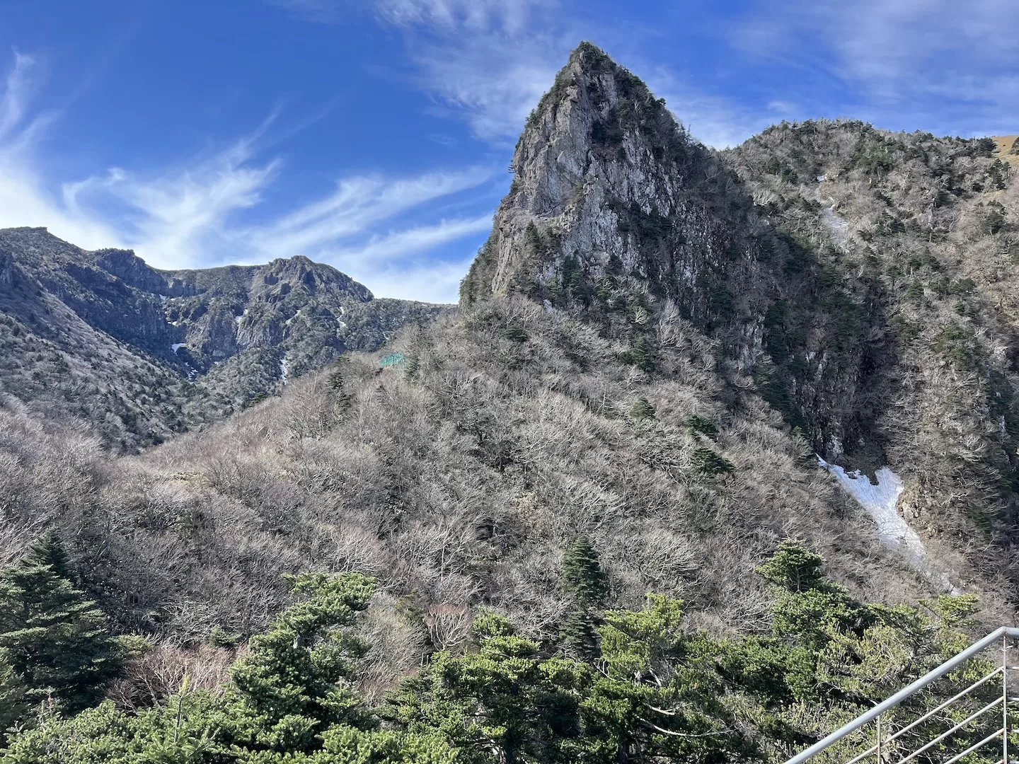
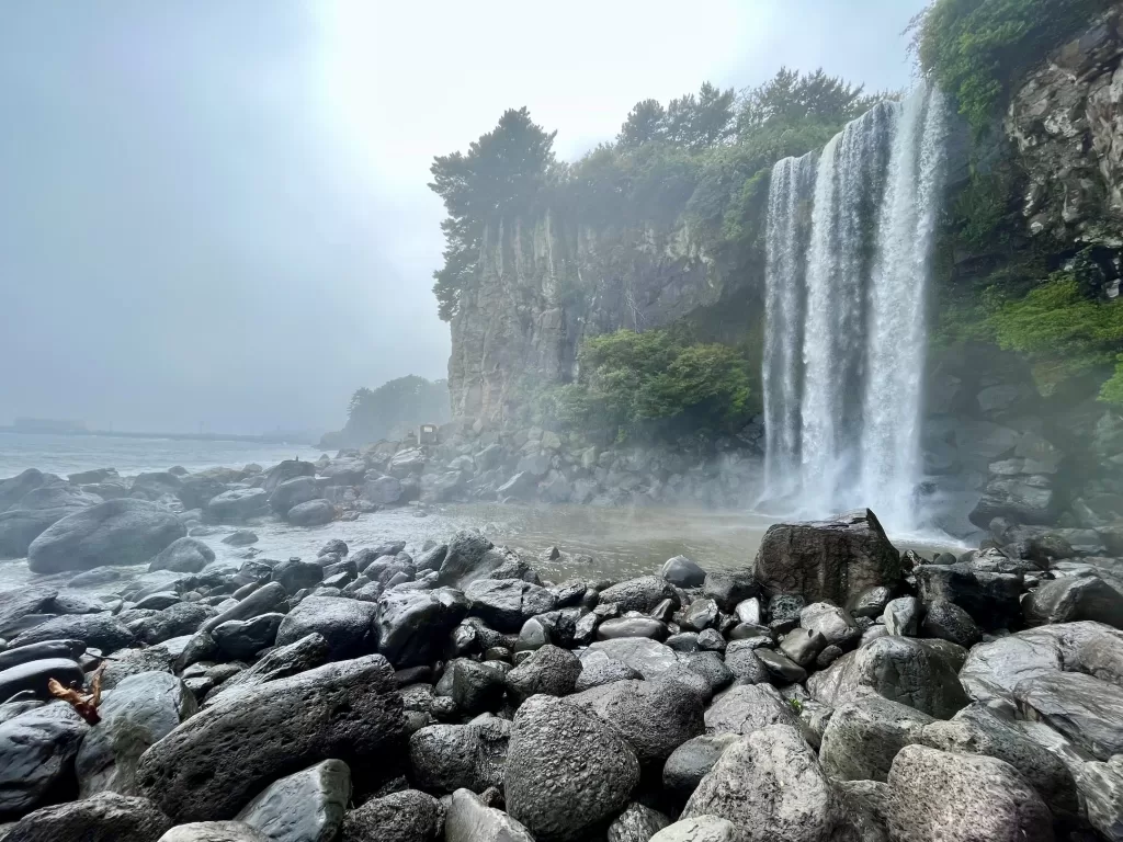
Hiking Hallasan is a must if you go to Jeju.
In fact, I’d go as far as saying that a trip to Jeju is worth it just to hike this gem.
Hallasan is a volcano set smack in the middle of Jeju, taking up a decent chunk of the island all by itself. It’s the tallest point in South Korea- at just under 2,000 meters.
It’s considered a dormant volcano. By most. There do happen to be some who classify Hallasan as active, apparently.
I was therefore fortunate- miraculously I ascended and descended without eruption.
But before we dive into the article, let it be said that I can’t be held responsible for any of you that go and get yourselves incinerated. By continuing to read, you accept the terms.
How to get to Hallasan
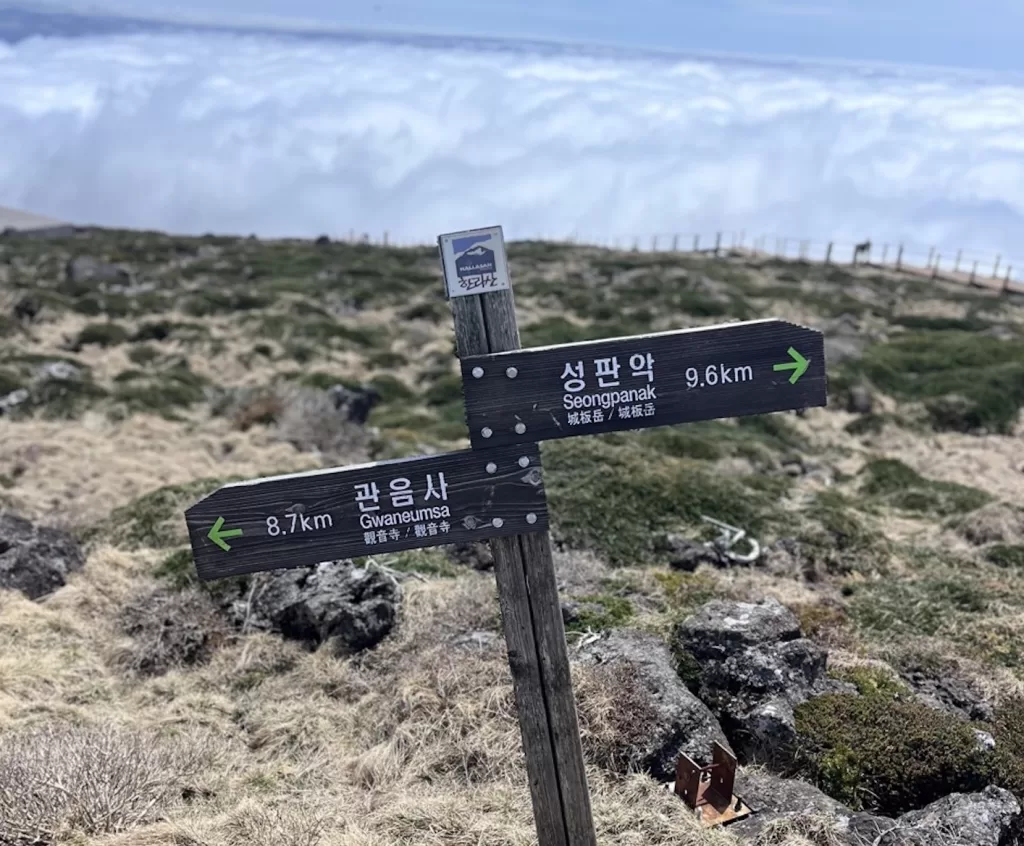
First, pick the trail you’ll be taking. The options are Gwaneumsa and Seongpanak- I’ll discuss the differences in the next section to help you decide.
To get to Gwaneumsa from Jeju Town: Take either the 181 or 281 bus towards Seogwipo. Get off at Sancheondan and transfer to the 475. The 475 only runs every hour. Try and time the bus where you won’t have to wait so long. You can also walk from Sancheondan to the trailhead (about 1 hour).
To get to Gwaneumsa from Seogwipo: Take either the 182 or 281 bus towards Jeju Town. Get off at Sancheondan and transfer to the 475. The 475 only runs every hour. Try and time the bus where you won’t have to wait so long. You can also walk from Sancheondan to the trailhead (about 1 hour).
To get to Seongpanak from Jeju Town: Take either the 181 or 281 bus towards Seogwipo. Get off at Seongpanak.
To get to Seongpanak from Seogwipo: Take either the 181 or 281 bus towards Jeju Town. Get off at Seongpanak.
Best trail to take
I’d recommend hiking up the Gwaneumsa trail and down Seongpanak.
There are a few reasons for this, but simply put- much of the scenery on Gwaneumsa is above you, whereas it is below you on Seongpanak. In addition, Gwaneumsa is shorter and steeper, which can make it difficult on the knees if you choose to descend it.
If you want a further comparison of the two trails, read my article that is strictly about it.
You must reserve your spot and pick the trail you’ll be taking before hiking Hallasan. I’ll go into more detail later, but just in case you guys skip that section at the bottom I figured I’d throw it in up here too.
Hallasan hike overview (length, difficulty, scenery)
As I’ve just mentioned, there are both the Gwaneumsa and Seongpanak trails, so I’ll talk about each trail in detail.
I’m going to assume you’ve heeded my advice and will be taking Gwaneumsa up and Seongpanak down- in any case, this is how I’ll be presenting it.
If you’ll be hiking Hallasan the opposite way, read this in reverse, I guess. You’ve earned the inconvenience with your lack of trust.
Generally speaking, the hike should take around 9 hours at an average pace. This includes four hours to ascend Gwaneumsa, an hour at the summit and four more hours to go down Seongpanak.
However, it’s quite possible to hike Hallasan in under 7 hours if you can keep a fast pace. If you keep moving and don’t stop to take in the views you can do it in six. Don’t really know what the purpose of that would be, but there you are.
Ascent up Gwaneumsa Trail
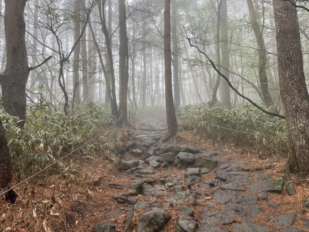
I’d recommend getting to the trailhead at around 8 AM.
I may have referred to Gwaneumsa as the short and steep trail, but it doesn’t start out that way.
You get a nice little warmup before the main act.
The first 3 kilometers or so are relatively flat. It’s a nice morning wakeup. For me, it was spent learning about the KBO (Korea Baseball Organization) from a Korean guy I met on the bus.
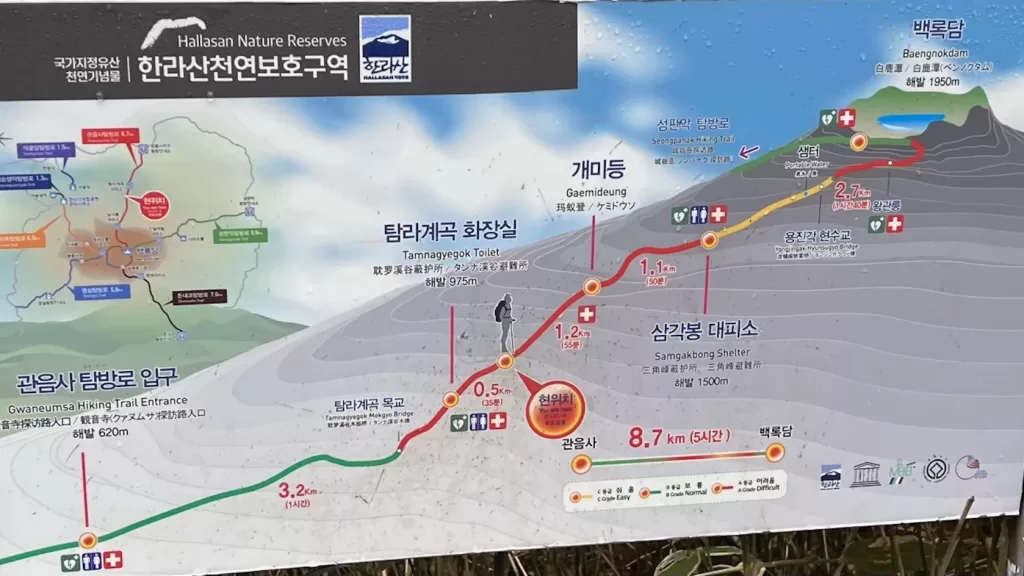
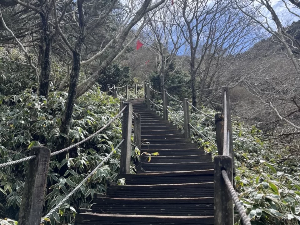
Then you get to the stairs. Boy, are there a lot of stairs.
The Korean Baseball conversation was put on hold as it was replaced by a copious amount of huffs and puffs.
The next 3 kilometers are a fight, a combination of steep paths and staircases.
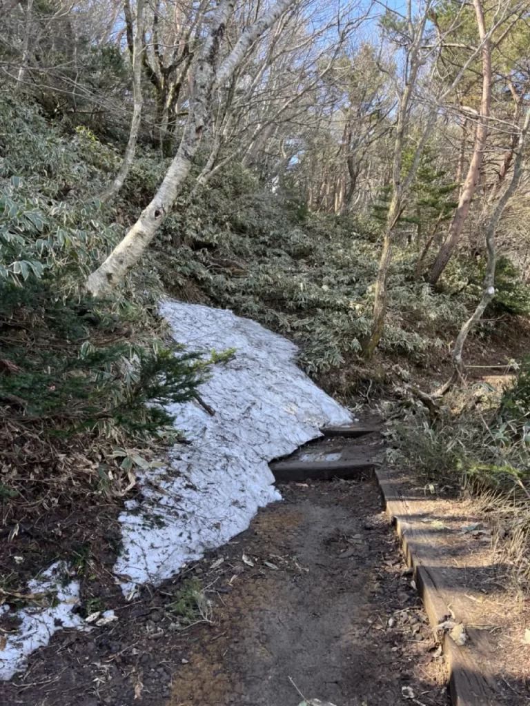
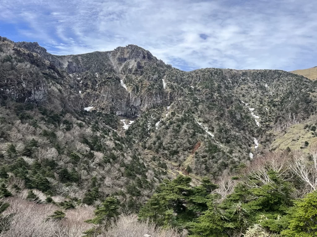
You ascend quickly, and depending on the season you may even begin to see some snow. I did the hike in late April and there were still many lingering patches.
After you finish this section, there’s really only one more difficult part to get through.
Eventually you’ll arrive at the Samgakbong Shelter, and the view will suddenly open up (assuming you’re not stuck in the clouds).
It’s definitely one of the most breathtaking parts of the hike. I recommend you take a little break here, have a snack and a drink, and take in the views.
Keep in mind that you must make it to the shelter by 12:30 PM or you won’t be allowed to ascend to the summit.
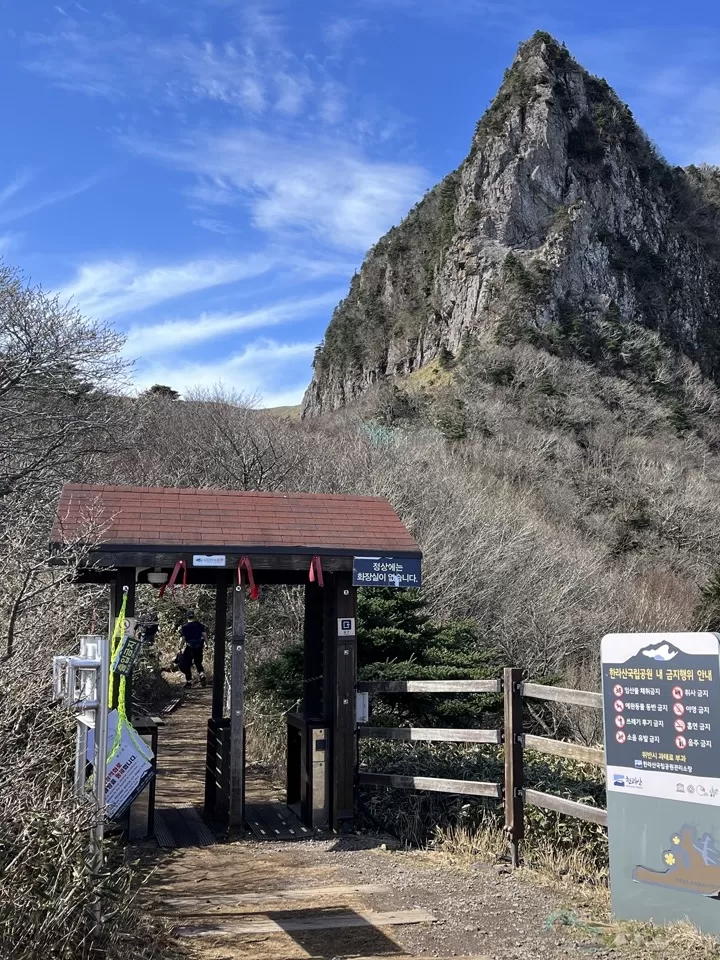
This next section of the hike- from the shelter to the summit- is the most scenic section on Hallasan.
Parts of it are steep- at a certain point, there are a lot of staircases as you ascend to the top very quickly- but feel free to take this part slowly. It’s gorgeous and deserves it.
This section is a little under 3 kilometers. At a moderate pace, stopping often to take in the views, it should take a little under an hour and a half.
Summit
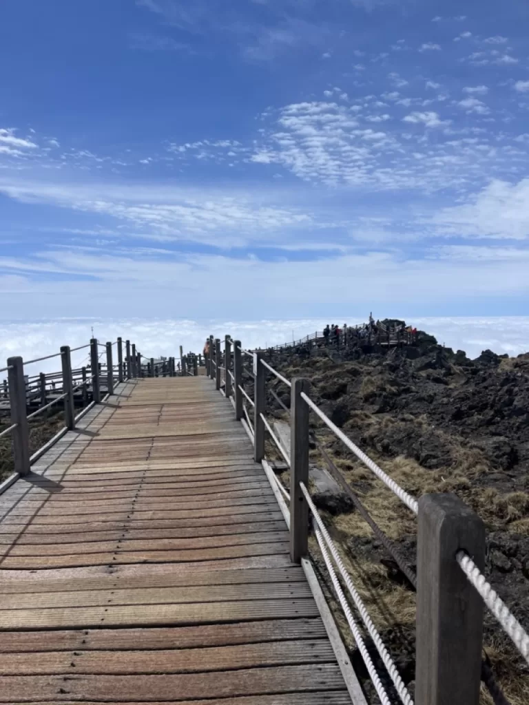
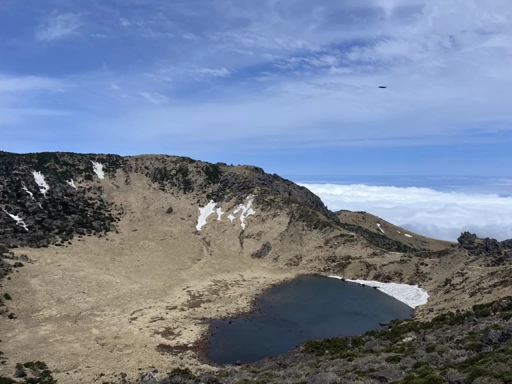
Cresting the top to the summit is just awesome.
No feeling like conquering a mountain, first of all.
Second of all, just like at the shelter, getting to the summit opens up a whole host of new views.
You can now see- pretty much unobstructed- in every direction.
Now, I can’t guarantee this to you as it’s partially weather dependent. And before you ask, yes, I am Jewish- but alas, having control over the weather is one of the few things they say about us that isn’t true.
Unfortunate, I know.
And clouds are fine- so long as they’re beneath you. When I hiked Hallasan, the sky was almost completely covered with clouds. But honestly, this just made it cooler.
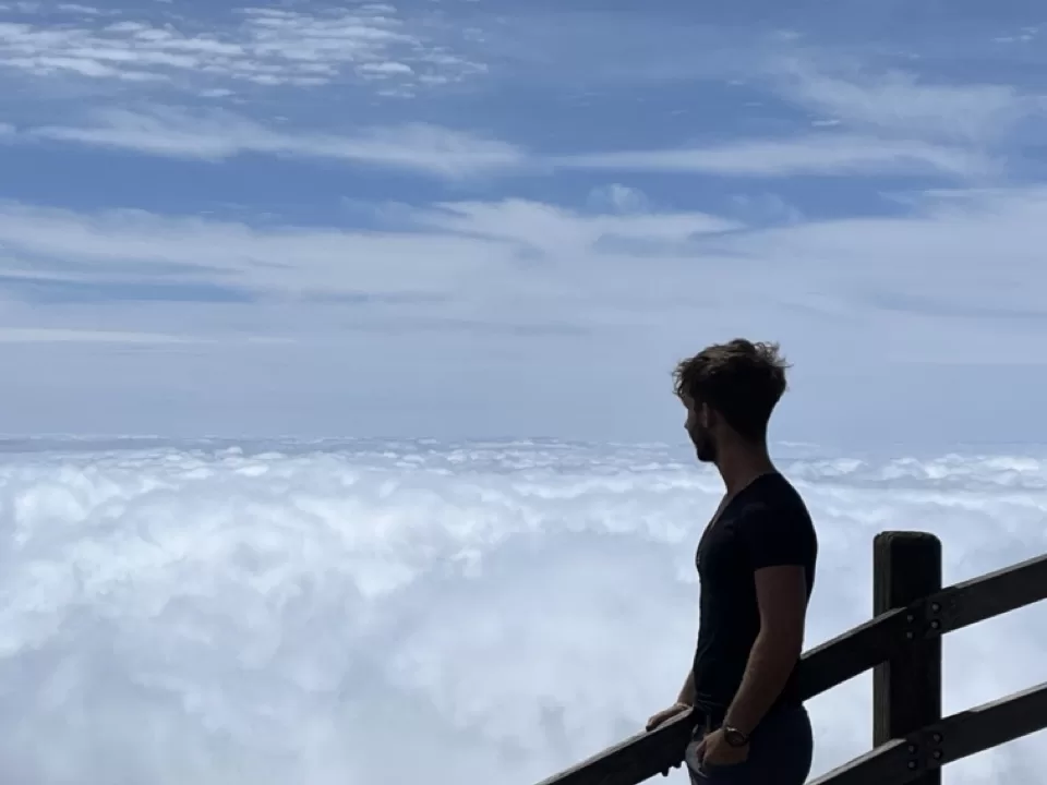
Take some time on top. Sit down, have a snack, take some photos.
Maybe get in the hundred person line to take a photo in front of the rock saying Hallasan in Chinese. I mention it because it dumbfounded me. One, it wasn’t even in front of the cool views. Two, everyone ignored the one saying Hallasan in Korean for some reason. And three, who’s waiting that long for a picture anyway?
Apologies for the rant.
I have one more though.
As you look across the lake you’ll notice that the peak on the other side looks ever so slightly higher than the area the trails bring you to. In other words, you haven’t actually reached the highest point in Korea.
What a complete and utter scam.
But aside from that, the summit is really quite lovely. And the earlier you get here, the better and quieter it is. Stay and take it in for a while.
Then it’s time for the descent.
Descent down Seongpanak
The best part of the descent is at the beginning.
As you begin the descent, you’ll be walking down towards a wide and expansive view over all of Jeju. Or down at a sea of clouds, if you’re me. Or just in clouds, if one of my friends has clicked the button.
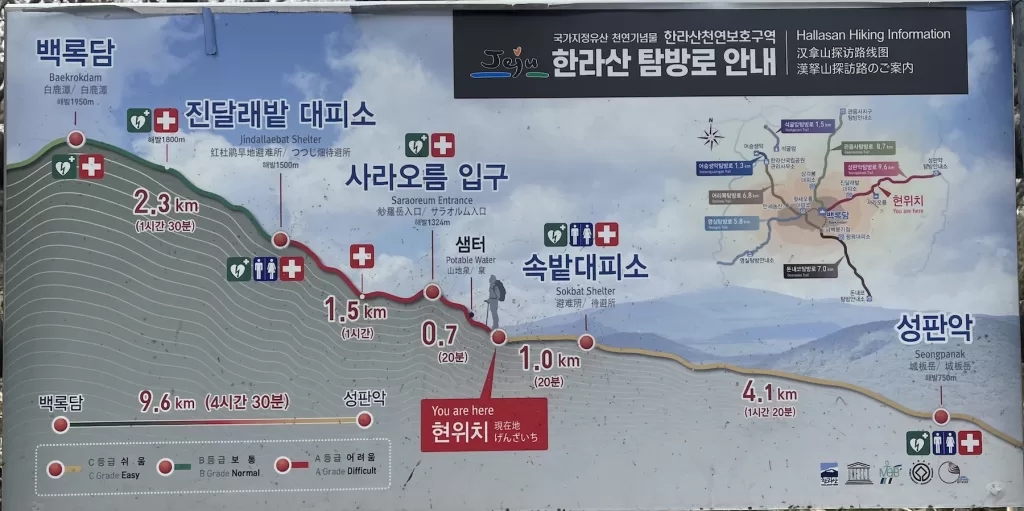
This will go on for a little over 3 kilometers before you reach a shelter where you can take a rest if you’re tired.
Keep in mind that if you ascend via Seongpanak, you’ll have to reach this shelter by 12:30 PM to be allowed up to the summit.
After this you’ll have 2 kilometers of a fairly steep decline.
From there, you’ll have 5 kilometers of a very gradual descent down to the bottom.
The last section is certainly long, but the mostly flat terrain allows you to hike without being too focused. I was able to let my mind drift off to new invention ideas.
I had thought of a bunch but can’t remember any of them anymore. A shame.
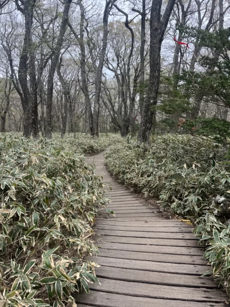
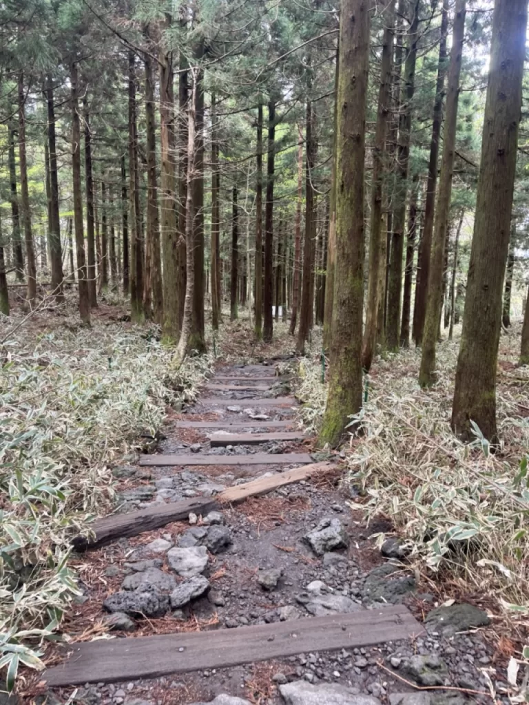
The scenery is also intriguing. The first part of this long section is covered in small bamboo plants, while the last part is full of tall pines.
Important things to know while hiking Hallasan
Prepare accordingly (reserve in advance!)
The most important thing to prepare is your reservation.
You must reserve your spot on this website to hike up Hallasan. It is completely free, but you still must have a reservation.
You can generally reserve up until a day or two in advance. I would recommend not reserving too far ahead of time to try and ensure that you hike Hallasan with good weather.
Other than that, make sure to bring a good amount of water and snacks. They said on the maps that there were spots to fill up water bottles, but I didn’t find any. It’s likely that has more to do with my stupidity than their absence but prepare for it nonetheless.
And dress appropriately. Even if it’s relatively warm at the base, the top is going to be much cooler.
Start early enough
The earlier you start your hike up Hallasan, the better.
This is especially important if you aren’t the fastest hiker, as there are quotas that you need to reach in order to be able to summit the mountain.
But it remains true irrespective of your hiking proficiency. This is because the earlier you start, the less busy the mountain will be. This is important because the summit can get quite busy after noon, and it’s pretty awesome to have the place to yourself.
At any rate, you should be starting by 8:30 at the latest.
Don’t forget your certificate at the end
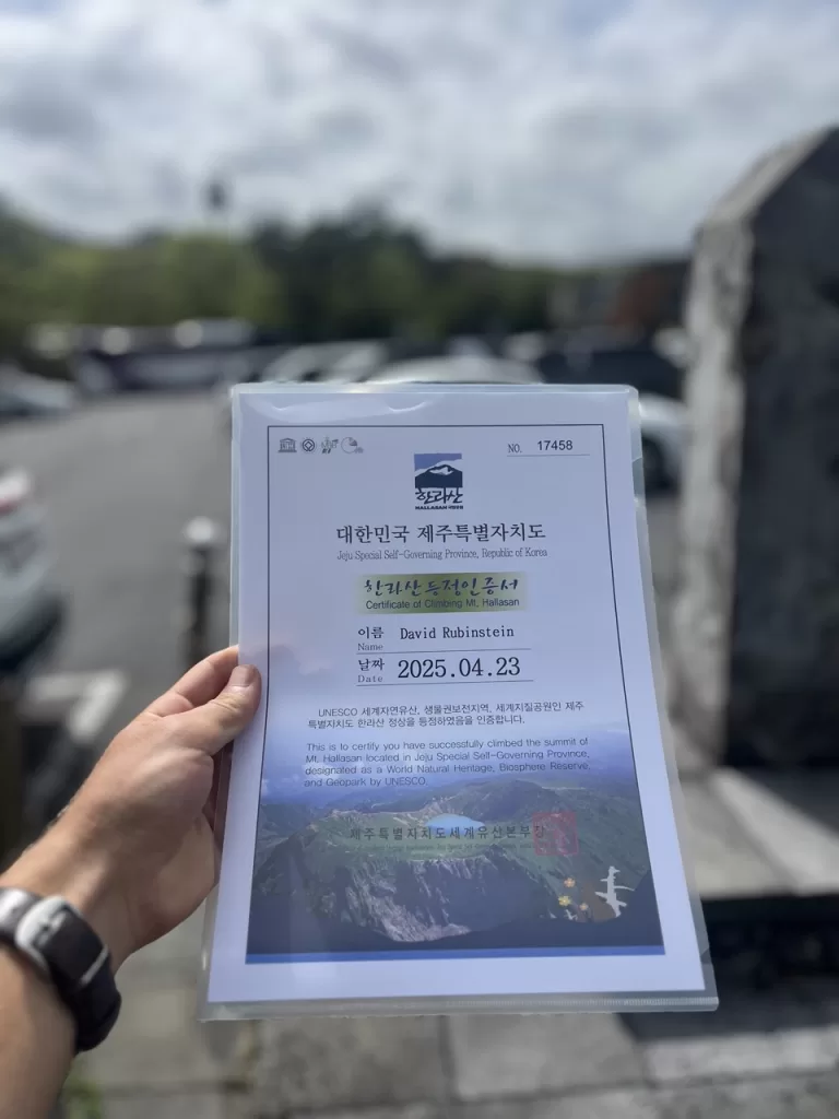
This is, of course, the single most important tip I’ll given in this article.
The piece of paper that stands as tangible proof of your success.
The insignia of victory that you can display proudly upon the walls of your home, where generations yet unborn will one day gaze upon it in awe.
All for a 1,000 won fee (less than $1 USD- what a bargain).
There’s a machine at the bottom of the trail where you can print out a certificate that you successfully hiked to the summit of Hallasan.
You may have to first pop by the office down there and fill out a form proving that you made it.
Now go treat yourself to some nice Korean BBQ.

